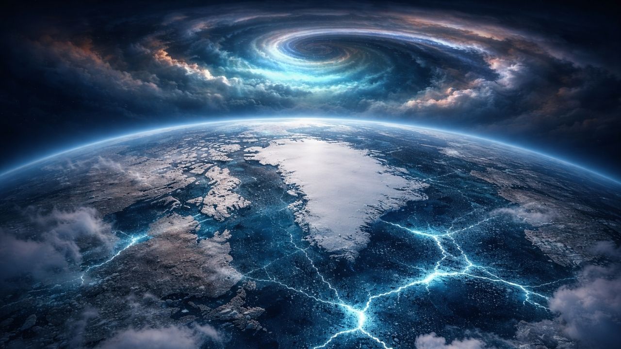
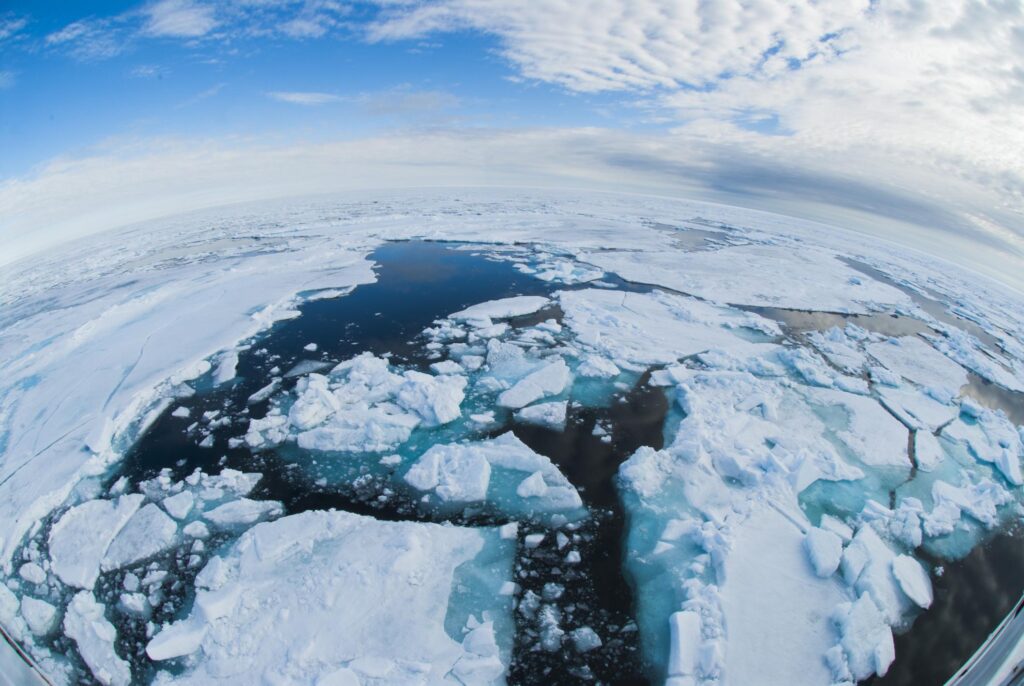
It didn’t start with a storm or a headline—it started with a sound. A faint crack beneath the ice in the Arctic, subtle but unsettling, like something shifting out of place. Now, scientists say that moment reflects a bigger change unfolding above our heads.
Meteorologists are closely watching early February, warning it could mark a turning point in the Arctic’s atmosphere. The concern isn’t just about the North Pole—it’s about how these changes could ripple across the world, affecting winter weather, energy systems, and daily life far beyond the Arctic.
What’s Changing in the Arctic Sky
At the center of the concern is the polar vortex—a massive ring of cold air spinning high above the Arctic. For decades, it has acted like a barrier, keeping freezing air locked in the north and maintaining stable winter patterns.

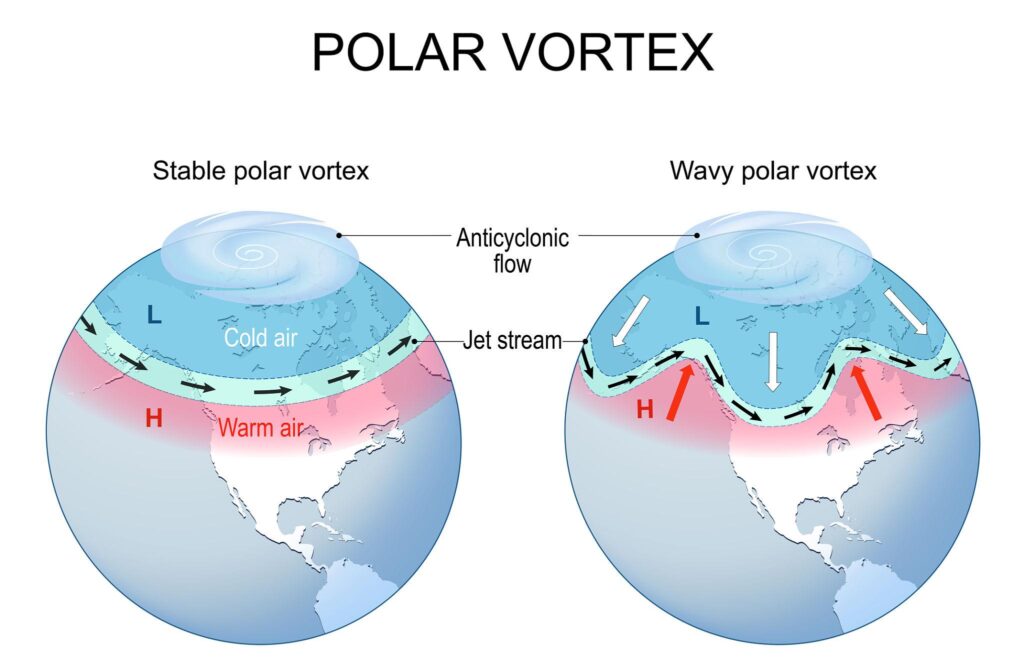
Now, that system is becoming less stable. Scientists are seeing signs that the vortex is weakening, stretching, and sometimes splitting. When that happens, cold air can spill south in unpredictable ways, while the Arctic itself may experience unusual warmth. Early February could be the moment when this instability becomes more pronounced.
Why Early February Matters More Than Usual
Winter is when the polar vortex is typically strongest, making late January and early February a critical window. This is when atmospheric conditions either hold steady—or begin to break down.
This year, several warning signs are lining up. Warmer ocean waters, reduced sea ice, and rising heat from lower latitudes are all pushing upward into the atmosphere. These forces can disrupt the vortex from above, increasing the chances of a sudden shift that could shape weather patterns for weeks.
How This Could Affect Weather Worldwide
When the Arctic atmosphere destabilizes, the effects don’t stay in one place. The jet stream—responsible for guiding weather systems—can become more erratic, leading to unusual and sometimes extreme conditions.
This can mean very different outcomes depending on location. Some regions may face severe cold waves, while others experience unexpected warmth, heavy rain, or prolonged storms. The key issue is unpredictability—weather patterns become harder to forecast and more extreme when they occur.
The Role of Warming Oceans and Melting Ice
One of the biggest drivers behind this shift is Arctic warming, which is happening several times faster than the global average. As sea ice declines, more open water releases heat into the atmosphere, especially during winter.

This added heat weakens the temperature contrast between the Arctic and lower latitudes—a contrast that helps keep the jet stream stable. With that balance disrupted, atmospheric patterns become more chaotic, increasing the likelihood of vortex disturbances like the one scientists are watching now.
What the Data Is Telling Scientists
Long-term observations show clear trends that explain the growing concern. Arctic temperatures are rising rapidly, sea ice is declining, and sudden stratospheric warming events—major disruptions high in the atmosphere—are becoming more frequent.
These changes don’t guarantee a specific weather event, but they increase the chances of unusual patterns. Early February is now seen as a key period where these underlying shifts can translate into real-world impacts.

Why This Matters for Everyday Life
This isn’t just about distant ice and abstract climate systems. A disrupted Arctic can affect heating demand, agriculture, transport, and infrastructure.
Power grids may face sudden surges during cold snaps. Farmers may deal with unexpected freezes or unseasonal warmth. Cities may see more freeze-thaw cycles that damage roads or increase flooding risks. What happens in the Arctic is increasingly connected to everyday decisions and challenges around the world.
What Could Happen Next
Forecast models suggest a higher risk of atmospheric disruption, but the exact outcome remains uncertain. That’s part of the challenge—these events don’t follow a simple script.

Over the coming weeks, meteorologists will monitor how the polar vortex behaves. If it weakens significantly or splits, the effects could extend well into late winter, shaping weather patterns across multiple continents.
A Warning, Not a Final Outcome
Scientists emphasize that this is not a fixed outcome, but a signal. The Arctic is responding to long-term changes, and early February may simply reveal how far those changes have progressed.
The bigger picture is clear: the system is becoming more sensitive and less predictable. That means more attention, better forecasting, and stronger preparation will be essential moving forward.

FAQs
What is the polar vortex?
The polar vortex is a large area of cold air circulating high above the Arctic. It helps keep cold air contained in the north during winter.
Why are scientists concerned about early February?
This is a key period when the polar vortex is most active. Disruptions during this time can influence global weather for weeks.
Does a weaker polar vortex always mean extreme cold?
Not always. It can lead to cold outbreaks in some regions, but others may experience warmer or wetter conditions instead.
Latest Stories
 Massive Fireball Over France Triggers Sonic Boom and Damage—Scientists Confirm Rare Meteorite Fall
How is climate change linked to this?
Arctic warming is reducing sea ice and increasing atmospheric instability, making disruptions like this more likely.
Can this affect countries far from the Arctic?
Yes. Changes in the Arctic can shift the jet stream, influencing weather patterns across North America, Europe, and Asia.
Is this event certain to happen?
No. Forecast models show increased risk, but the exact outcome depends on how atmospheric conditions evolve.
Latest Stories
 Scientists Warn a Record-Long Solar Eclipse Is Approaching—Here’s What Makes This 6-Minute Darkness So Unusual
What should people watch for?
Keep an eye on weather updates in early February, especially for sudden temperature changes, storms, or unusual conditions.